What are the branches of government in Colombia?
Through the 1991 Constitution, Colombia established three autonomous and independent branches of government, in addition to electoral and oversight bodies.
Public power in Colombia is divided into the executive, legislative, and judicial branches, which were conceived in 1945, as well as electoral organization entities and oversight bodies established by the 1991 Constitution.
Who makes up the Branches of Public Power?

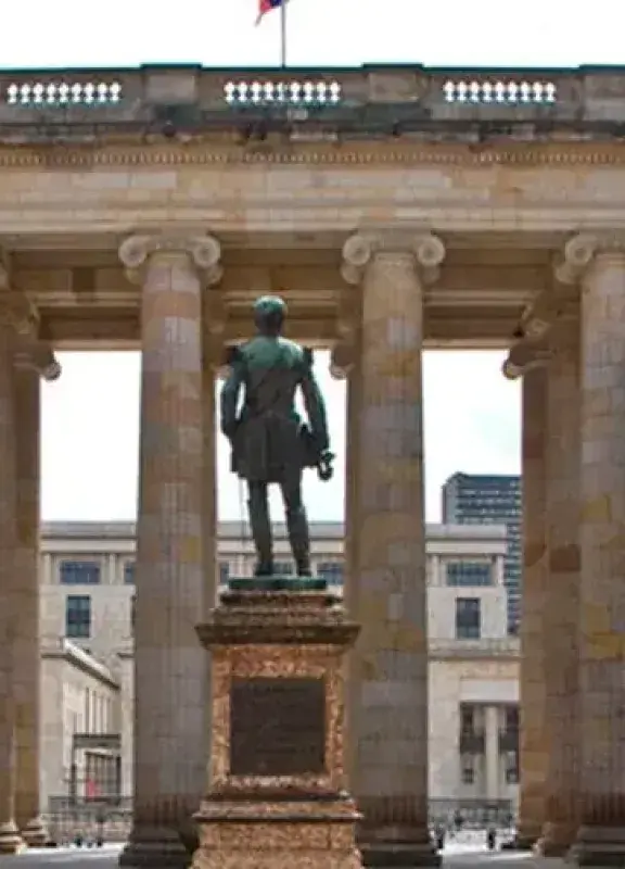
Congress of the Republic of Colombia
- The Executive Branch, headed by the President of the Republic, is mainly composed of governorships, mayor’s offices, and ministries. Its role is enshrined in Article 115 of the National Constitution.
- The Legislative Branch has a bicameral structure that makes up Congress, consisting of the Senate and the House of Representatives. Members are elected by popular vote and must be at least 30 years old.
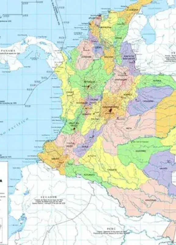
The Senate is made up of 102 members, two of whom represent Indigenous communities. Meanwhile, the House of Representatives is composed of 166 members: 161 are elected based on territorial constituencies (departments and the Capital District), and the remaining five represent Afro-descendant communities, Indigenous peoples, Colombians living abroad, and political minorities.
- The Judicial Branch is responsible for administering justice in Colombia. It includes entities such as the Supreme Court of Justice, the Constitutional Court, the Council of State, the Superior Council of the Judiciary, Special Jurisdictions, and the Office of the Attorney General, which is an affiliated body.
- Autonomous public entities are institutions that serve the State. These include oversight bodies such as the Public Ministry or Procuraduría, the Office of the Comptroller General, the National Electoral Council, and the Banco de la República.
How was public power established in Colombia?
In 1945, through a political reform, the three branches of public power as we know them today were formed. Later, in 1991, with the issuance of the new Constitution, it was established that public power would be divided into branches and organs. The branches remained the three mentioned (legislative, judicial, and executive), while the organs were divided into electoral organization and oversight bodies.
 Welcome, you are in


